

Op-Ed


Op-Ed
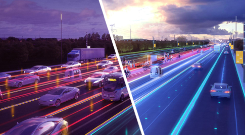
Digital’s Promise to Reduce Traffic Congestion
“The wagons thundering past through those narrow twisting streets, the oaths of draymen caught in a traffic-jam, would rouse a dozing seal—or an emperor. […] however fast we pedestrians may hurry crowds surge ahead, those behind us buffet my rib-cage, poles poke into me; one lout swings a crossbeam down on my skull, another scores with a barrel.”
Satire III, “The Annoyances of Rome”, Juvenal [1]
“Coaches, horses and deafening noise. Such is Paris; how does it seem to you?”
Paul Scarron, On Paris, 1654 [2]
“Embarrassed by the same rude embrace. Soon twenty carriages arrive in single file, followed apparently by a thousand others.”
Nicolas Boileau, Annoyances of Paris, 1666 [3]
The “congested city”: a tautology
Nothing new under the sun: already in the first century of the common era, Juvenal formulated a perfect definition of urban congestion as the product of an imbalance between the availability of space and the flow of traffic.
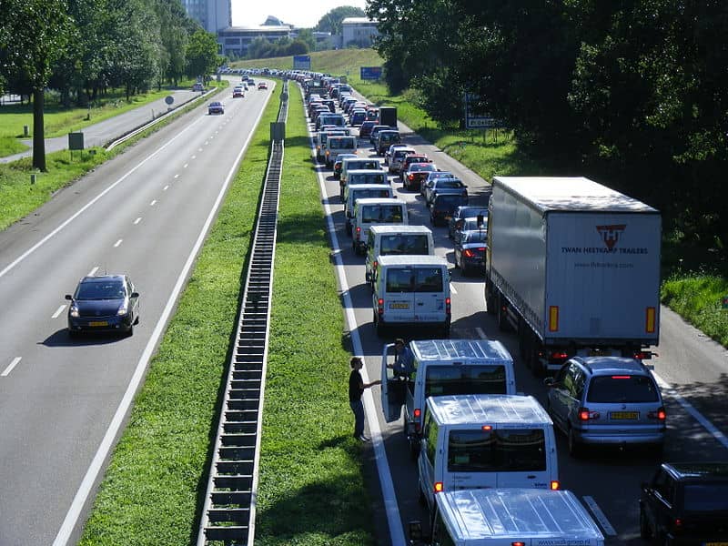
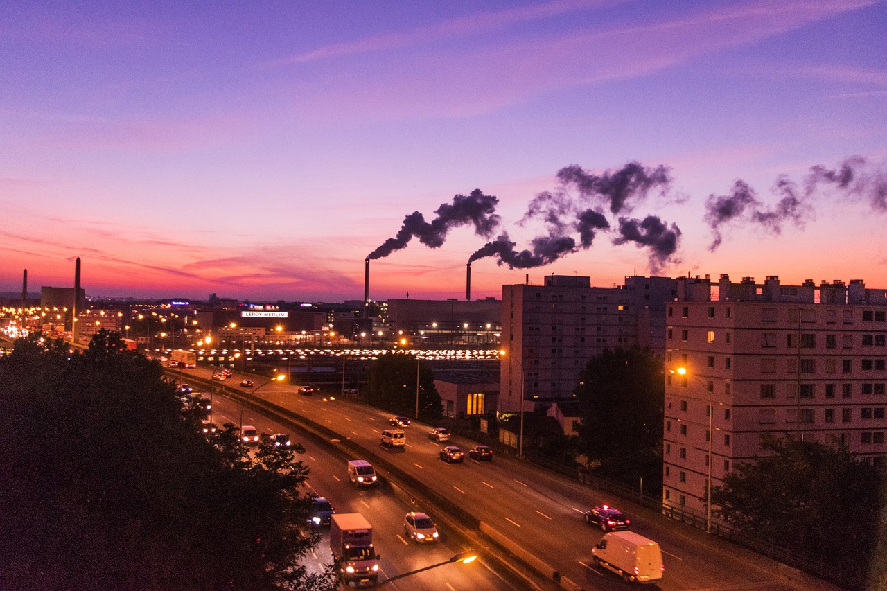
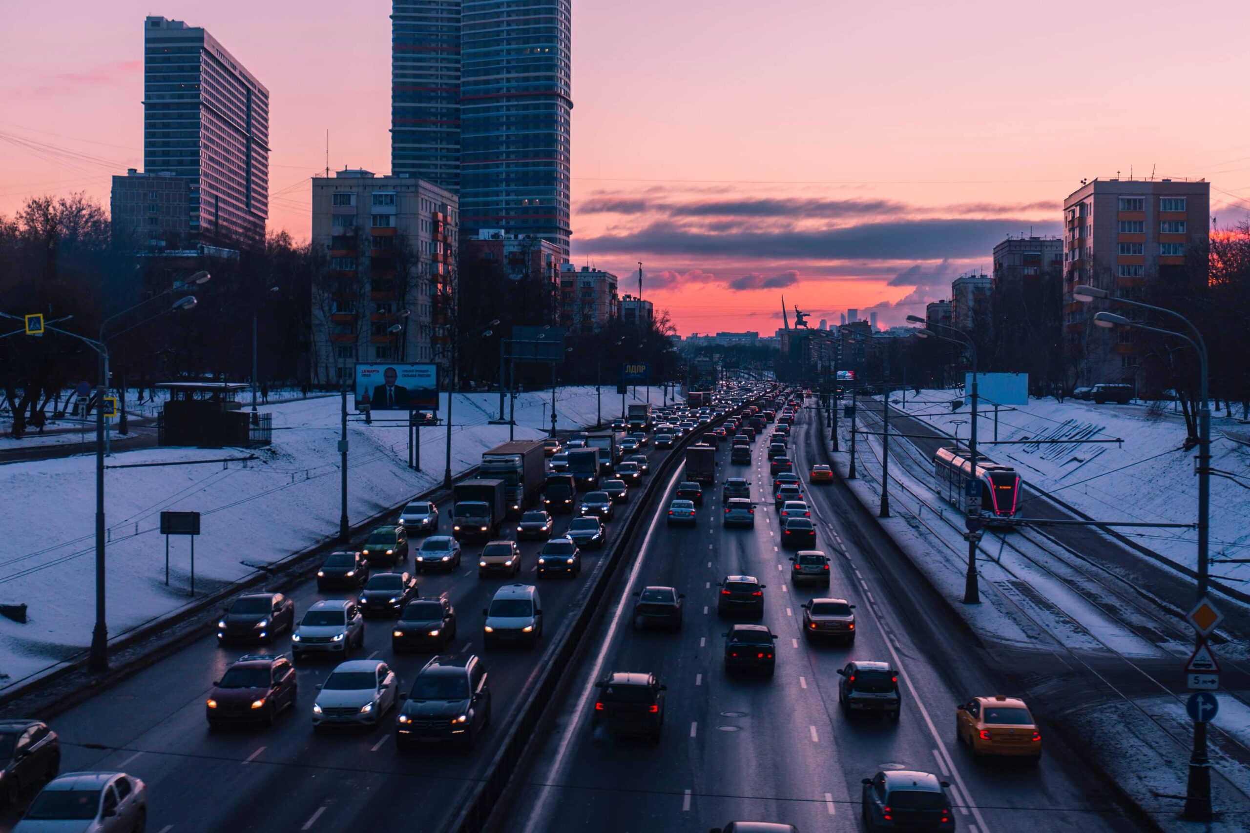
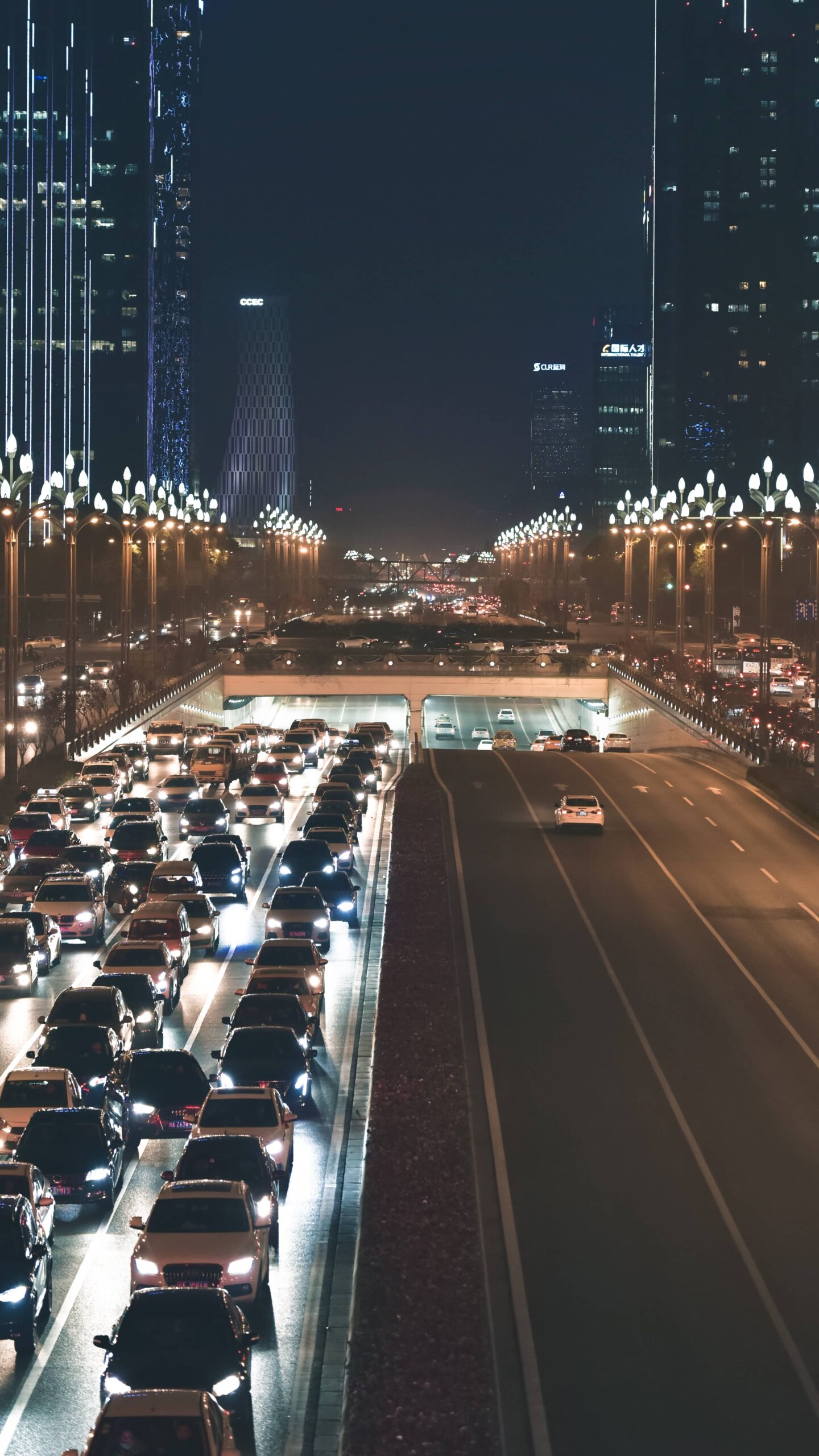
An intrinsic feature of cities, traffic congestion can also lead to serious consequences. Primary among which are its economic consequence: in France, time wasted in traffic costs drivers an average of 3.3 billion euros[4]annually. Moreover, while a significant portion of urban road space is shared between users of various transportation modes, overuse of public space – a rare commodity in dense areas and seldom designed for more than one traffic type – carries a substantial cost for cities[5](CNT, 2005). From an environmental standpoint, several thousand vehicles burning fossil fuels while deadlocked in traffic generates even more CO2emissions. On top of that, fine particulates dispersed into the air pose additional health risks. In the United States, traffic congestion alone accounts for an extra 25 billion kilograms of CO2emissions[6]. Traffic congestion also increases stress and anxiety for city dwellers. In major urban areas, where residents spend an average of one day a year stuck in traffic jams, workers and professionals cite urban congestion as one of the top sources of stress (25%)[7].
Cities have spelled congestion since their inception. And for just as long, urban areas have sought out a miracle solution that would eliminate the problem.
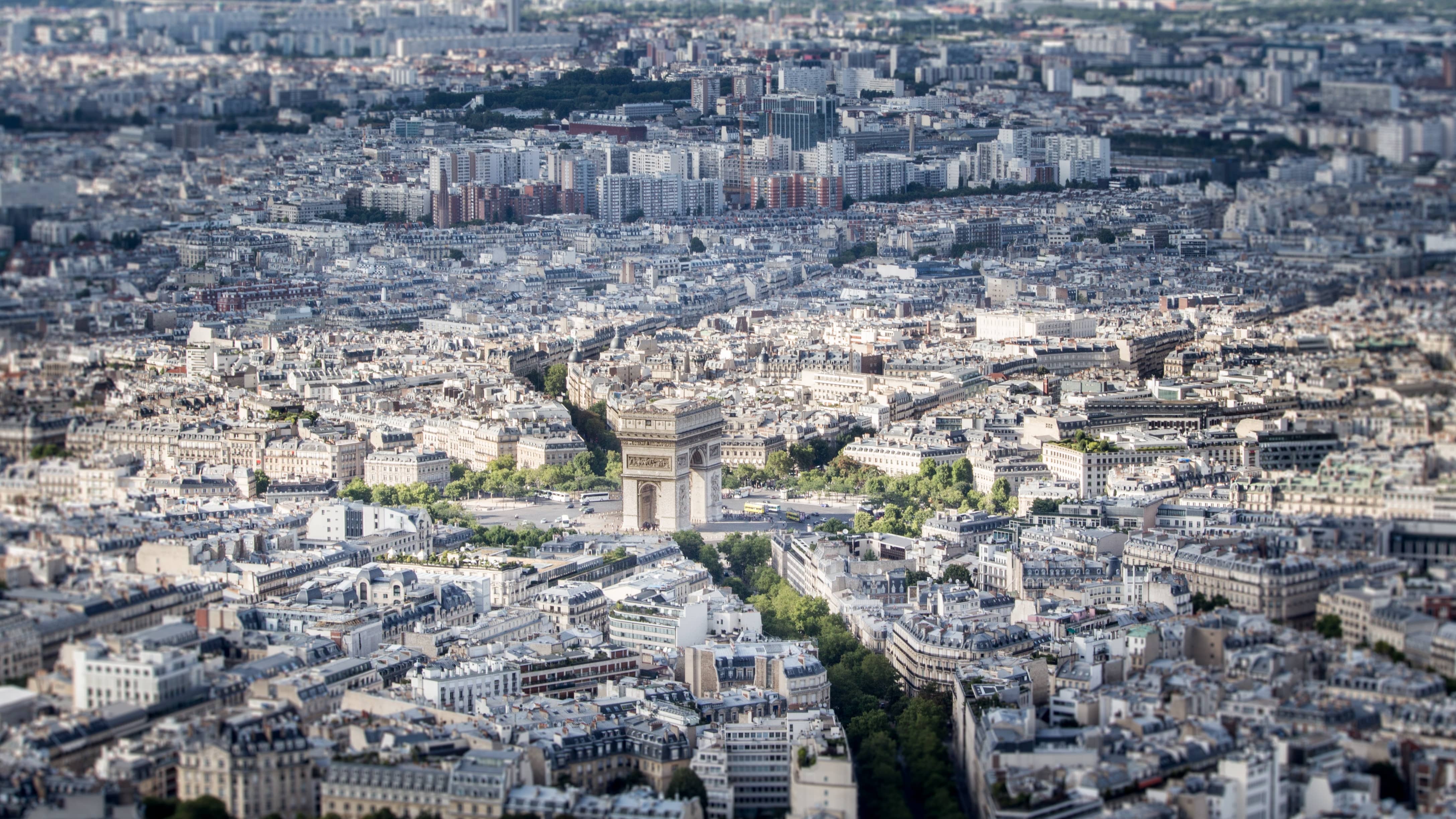
In 1662, with the approval of Louis XIV, Blaise Pascal tested the world’s first public transport system in Paris to fight urban congestion: the Carrosse à cinq sols, or five-sol coach. Fifteen years later, heavy restrictions imposed by the Paris Parliament coupled with rising fares put an end to the experiment. A century later, works overseen by Baron Haussmann changed the face of Paris dramatically by cutting broad new avenues through the city to relax the dense distribution of space in the historical urban core[8].
In the 20thcentury, the automobile emerged as a mass-market consumer good, thereby claiming a central role in society. The same century brought about the rise of personal mobility: ever faster and sleeker, cars emerged as the leading transport method for everyday travel[9]. At the same time, cars also became a status symbol conveying an individual’s sense of personal achievement and independence. Massive adoption of the automobile triggered new transformations in the city[10]. Originally scaled for travel by horse or foot, cities soon needed to find ways to open up new spaces in order to solve “the problem of automobile traffic”[11]. In this way, the 20thcentury signaled “the shift from the metrics of pedestrians to the metrics of automobiles”[12]: roads widened, parking spaces multiplied, and the city sprawled out through a centrifugal dynamic powered by the automobile. Despite these transformations, congestion remained, survived and became so dominated by cars that in 1908 the president of the Tourism Council proposed a solution for “channeling” traffic flows through the use of stop lights, right of way and the adoption of France’s Code de la Route, or Highway Code, in 1921.
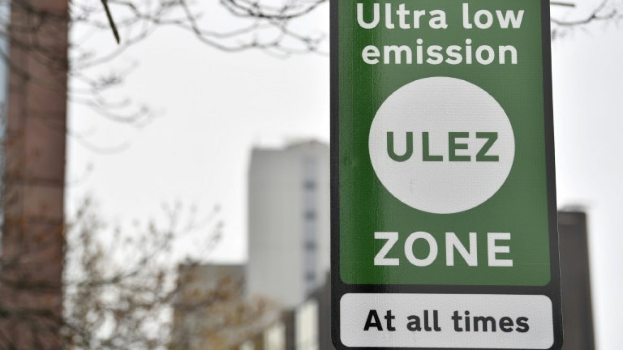
Today, this urban space previously opened up for automobiles is now gradually closing. Cities are moderating automobile traffic to favor new modes of transport by cutting back on the amount of space dedicated to cars (street lanes, parking). This paradigm shift has resulted from an onslaught of new considerations including familiar topics like combatting traffic congestion, as well as antipollution efforts, policies to reduce single-occupancy vehicles and a preference for multimodal transport that notably integrates greener modes (biking, walking, public transit). In their effort to slow or reverse the growing plague of traffic congestion, cities have taken new measures such as reducing speed limits, instituting urban toll systems, restricting traffic and expanding public transportation options.
Digital to the rescue of congested cities: what promises does it offer?
Is it possible that the digital revolution might deliver the miracle solution cities so desperately need? In 2005, the foundations of what would later become the “smart city” gave form to the utopian vision of a controlled, predictable and regulated city, a city in which human intelligence gives way to the intelligence supposedly obtained by using digital tools. When applied to the city, digital conjured up a host of fantasies about law and order, safety and security long found in the arts (film, painting, literature). From its inception, the digital city has presented itself as an idealized vision of the city that will not only solve inveterate problems like traffic congestion, but also address issues of sustainable development and quality of life against a backdrop of rampant urban development. This new form of so-called intelligence relies almost exclusively on communication and information technologies (CIT). From the start, many have expected digital to unleash a new capacity for cities to learn, understand and transform their everyday experience. This spurred the CIT giants of the time to launch an all-out campaign to win over cities. “Connected Urban Development” (CUD) became the first such plan for developing connected cities, initially launched in three cities (San Francisco, Amsterdam and Seoul), with the specific aim of solving many of the problems facing cities, notably in terms of traffic congestion[13].
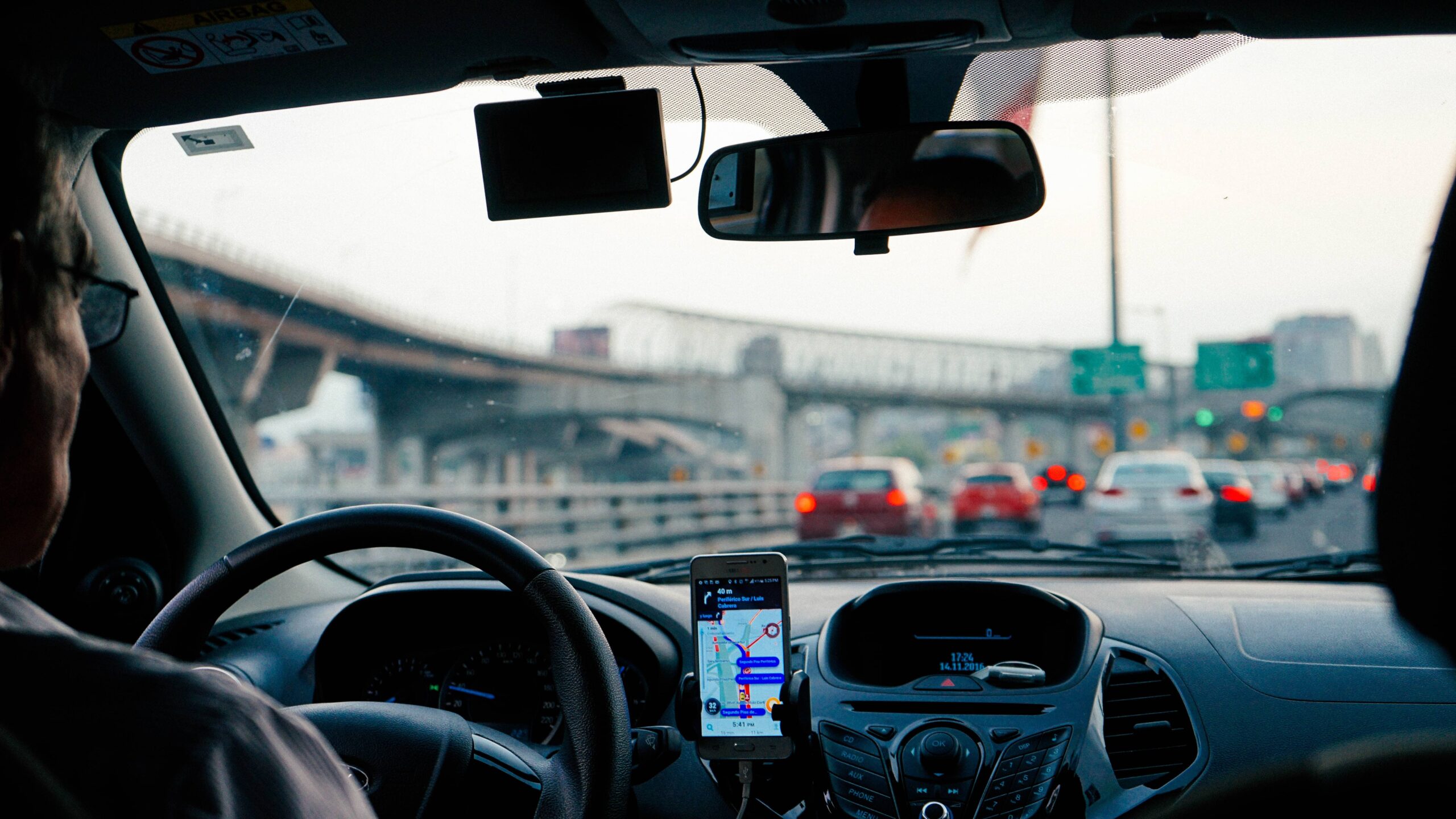
Still today, mobility remains the preferred playing field for digital platforms, with traffic congestion still the worst enemy. In terms of recurring traffic jams, for example, digital tools like Waze promise to help drivers “outsmart traffic”, while Citymapper pursues the broad ambition of “making cities usable”. In this way, the digital transformation of the city encompasses both new technologies andnew players – which provides plenty of fuel for city’s new ambitions in terms of their targets for reducing urban congestion.
However, beyond their marketing slogans, what actual benefits can digital technologies bring to the table when it comes to cutting back on traffic jams?
For Antoine Picon, recent decades have seen a shift from the “city of flows and networks” – a model that has dominated since the 20thcentury – to the “city of events”. In his view, this new city is based on each city’s ability to attract and host a permanently growing schedule of events. Each of these events, or data sets, offers a new opportunity to represent the city in a new and different way. In this sense, the script replaces the map as the dominant metaphor of the smart city. With an ever-expanding web of data, artificial intelligence and sensors, digital offers a vast palette of technologies and techniques that cities can apply to their organization. These tools enable private players and municipal authorities to process massive data volumes in real time. By delivering these new capacities, the hope is that digital will create a more streamlined and livable city. To achieve these promises, digital can help cities activate or facilitate three basic levers: expanding knowledge of mobilities, supplying information to users and rolling out a smart transport system that can adapt in real time.
-
Knowledge: gaining a detailed understanding of mobility with digital
Since the mid-1970s, France’s Household Transit Surveys (Enquêtes Dénages déplacements– EMD) have helped flesh out a global and coherent vision of domestic mobility. Analyzing the data collected by these surveys has contributed to outlining and evaluating the country’s public policy on mobility questions. The surveys employ a series of interviews conducted at subject’s homes, using the same methodology across the entire country. Considering the logistical challenges and costs of conducting the EMD surveys (several thousand euros for large cities), digital offers a critical tool and major opportunity to expand this knowledge of mobility.
With the emergence of new geolocation techniques (GPS, GSM, WiFi), new data acquisition protocols (mobile apps, web, connected vehicle data) and the expanded data ecosystem, cities now enjoy access to an unprecedented body of knowledge concerning mobility. Today, every connected object and citizen doubles as an additional source of data, simultaneously expanding our understanding of mobility and playing a key role in improving our modes of transport.
-
Information: taking part in improving the redistribution of flows
Urban congestion is the product of an imbalanced relationship between two variables: space (infrastructure supply) and flow (travel demand). Applications like Waze promise to help passengers bypass traffic jams by acting directly on the “space” variable: uncongested routes are preferred over main roads. In Belgium, the city of Ghent recently implemented “the country’s most ambitious traffic redirection plan”. The program sought to reduce traffic by nearly 40% in the downtown area by restricting vehicle access to the city’s urban core[14]. A partnership between Waze and the city even published a detailed map of the new traffic plan as soon as it came into effect, thereby permitting drivers to avoid traffic jams along the edge of the restricted traffic zone. Data provided by the application has also allowed drivers to find alternate routes to avoid the city’s main roads and optimize traffic flow within the city.
Since the initial application of this new traffic plan in the urban core of Belgium’s second-biggest city, the municipality has seen a nearly 15% rise in bus and tram ridership and a growing number of cyclists (27%). These rising numbers, as secondary effects of the plan, can be attributed in part to digital. In fact, the capacity of digital services to aggregate and distribute vast swathes of data makes it possible to create applications that compare all mobility solutions available for a given route. Multimodal route planners of this sort have the potential to influence which transport modes users choose based on their relative competitiveness, expressed in terms of time and/or cost.
-
Optimization: rolling out a smart transportation system
Intelligent Transportation Systems (ITS) refer to transportation infrastructure augmented by data. Infrastructure of this type receives and communicates data with every link in the global system: vehicles, smartphones and applications. ITS represent a hybrid form of physical infrastructure (roads, transportation networks) and digital infrastructure. This type of network delivers many benefits: since operators can adjust these systems in real time, they enable operators to boost their overall efficiency by ensuring safer, more streamlined traffic flows. In this way, smart transportation networks can send updated directions to users based on the actual traffic conditions observed across the network.
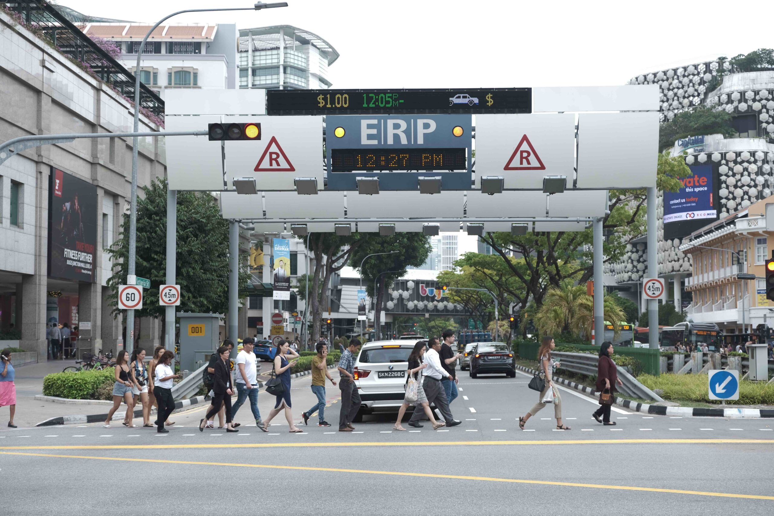
In Singapore, the government implemented an urban toll system to cope with the scarcity of available space and the saturation of its roads. Upon its initial release in 1975, the system was manually operated and functioned independently of traffic conditions. In 1998, the city reinvented the system to create a digital and dynamic tool. The system now enables the city-state to exercise greater control over traffic flows through a dynamic and targeted toll system that adapts to traffic conditions in real time. Introducing the new digital urban toll system helped cut vehicle traffic by 10-15% compared with its manually operated forerunner[15].
Such systems make it possible to optimize physical infrastructure in real time, while also delivering more information to users of the network. Digital is not just a source of information, it is becoming an efficient protocol for governing communication between all connected objects across a network.
An alluring promise
Digital has brought along a host of promises when it comes to simplifying transit and the way we travel. The leading players in this new economy have been the first to champion these promises in wildly enthusiastic terms. To solve the age-old bottleneck problem, digital players suggest using data to avoid them (“outsmart traffic”, Waze); they also plan to solve the challenges of intermodal transit by simplifying the city (Citymapper); finally, as service quality declines on traditional modes of transport, they promise comfort and efficiency at an affordable price (Uber). Behind these words are the promises of services rolled out by digital players. Focused on the goal of simplifying mobility by making it more streamlined and less complex, they have set out to reinvent the transit experience.
In fact, in just a few years, digital has dominated the mobility landscape to such a point that people now view these new services as essentials. In a sector like mobility, which had experienced little change since the mass adoption of automobiles, these new services are seen as vectors of innovation and change to move things in the right direction. In fact, they promise to liberate users from their daily transit constraints and the bane of traffic. In this way, they are reinventing the transit experience. Their service is often perceived as superior to the quality offered by traditional transit operators, and it is getting better every day[16]. For a vast majority of Europeans, expanding digital services is seen as a crucial step towards getting around with ease. Among the many services developed through digital, Europeans particularly value the ubiquity of digital payment services (62%), route planners that favor intermodal transit (73%) and finally, passenger information (77%)[17]. Offering predictability, real-time information, the ability to aggregate data from a wide range of operators and more, the innovations brought about by digital have emerged as essential services in the public imagination in a very short time.
This is because these services have capitalized on travel time, either by reducing trip length or by offering additional services. For example, ridehailing services eliminate the need to drive and thus offer more free time to users. A UC Davis study published in October 2017 develops this point by indicating that over a third (37%) of users of these services in major U.S. cities mentioned not having to find a parking spot as a main reason for using these services[18]. In France, a study by the research firm 6t indicated that Uber users valued the ease of use and competitive prices compared with taxis, and the ease of use compared with public transit. In the Paris area, respondents valued the ease of use offered by the service compared with taxis (43%). In several major urban areas in France[19], ridehailing services are preferred for their low cost (40% on average), their ease of use compared with taxies (30% on average) and finally, because they are easier to use than public transit (15% on average)[20]. Route planning apps, for their part, help to reduce driving times. In the United States, more than three fourths (77%) of people with a smartphone regularly use navigation apps[21]. Among these users, 25% prefer digital maps because they feel these services find better routes.

More knowledge, information and intelligence, but the problem remains…
Powered by data and digital tools, cities can now ascertain the provenance and destination of each data point, as well as their current location and reason for travelling. Digital has made it possible to track several key pieces of information for understanding congestion, such as traffic speed and accident information – though this information has not (yet) helped to reduce the phenomenon. Citing the example of Boston, Marta Gonzalez, Associate Professor at the Massachusetts Institute of Technology (MIT), noted that only 2% of the city’s roads reached their peak capacity, adding that targeted efforts on this small percentage of roads could help cut travel times by 18%. The case of Boston also demonstrates that traffic jams are never exclusively local phenomena[22]. For example, by shifting problems to other areas, navigation applications have only created new traffic jams, effectively making traffic congestion worse despite their promise to end it.
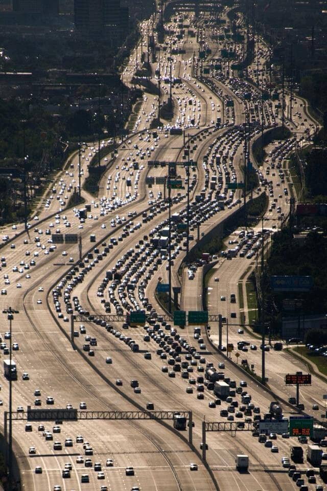
In New York, one of the world’s most prominent smart cities, digital has not managed to reverse the trend of urban congestion. In fact, the problem has only grown worse, as New Yorkers spent an average of 91 hours stuck in traffic jams in 2017. Since the early 1980s, congestion in large urban areas with populations above 3 million residents has risen by almost 25% in the United States. In the early 2000s, small American cities (between 500,000 and 1 million residents) even reached the same level of congestion seen in the 1990s by large urban areas of over 3 million residents[23]. Since Uber and its counterparts set out in 2011 to simplify mobility by providing access to “the simplest mode of transport” at the press of a smartphone button, more than 50,000 additional vehicles have transformed mobility for everyday New Yorkers, competing even with public transit – while also creating new traffic jams[24].
Far from contracting, traffic congestion seems to have expanded in many cities[25]. No strong global movement to reduce traffic congestion is apparent from the INRIX Global Traffic Scorecard, the world’s largest ranking of cities based on traffic jams. Moreover, Los Angeles, Moscow and New York, cities that have made a strong commitment to the digital revolution, have formed a stable trio for many years – as the most congested cities in the world…
Reinvestigating the connection between digital and mobility has now become a matter of urgent importance.
This article is the first installment of a series of four episodes by La Fabrique de la Cité investigating the role of digital technologies in the resolution of cities’ congestion problem.
[1] Translated by Peter Green, Revised Edition, 1999, retrieved from http://blogs.getty.edu/iris/the-seven-plagues-of-the-ancient-roman-city-dweller/ [Accessed on May 14, 2018]
[2] (Our translation)
[3] Translation retrieved from Strachey, Lionel, et al., eds. The World’s Wit and Humor: An Encyclopedia of the Classic Wit and Humor of all Ages and Nations.New York: The Review of Reviews Company, 1906; Bartleby.com, 2013, http://www.bartleby.com/380/prose/657.html [Accessed on May 14, 2018]
[4]Calculated by INRIX based on the following assumptions: “Wasted time per driver is valued at 50% of the hourly wage in a country or city, given that workers are expected to make up for a portion of productivity lost in traffic during the work week. The CEBR estimates that companies pass on 80-90% of direct costs (fuel, employee productivity) to households that travel by car.”
[5]Frédéric Héran, Emmanuel Ravalet, La consommation d’espace-temps des divers modes de déplacement en milieu urbain, Application au cas de l’Île-de-France,Programme national de recherche et d’innovation dans les transports terrestres, 2008. [Accessed on February 22, 2018] (URL: http://isidoredd.documentation.developpement-durable.gouv.fr/documents/Temis/0063/Temis-0063282/17652_2008.pdf)
[6]David Schrank, Bill Eisele, Tim Lomax, TTI’s 2012 Urban Mobility Report, Texas A&M Transportation Institute, 2012. [Accessed on February 22, 2018] (URL: https://static.tti.tamu.edu/tti.tamu.edu/documents/ums/archive/mobility-report-2012.pdf)
[7]Christine Mateus, Embouteillages: « Des conséquences sur la journée de travail », Le Parisien, 11 septembre 2017. Available at: <http://www.leparisien.fr/transports/embouteillages-des-consequences-sur-la-journee-de-travail-11-09-2017-7250673.php> [Accessed on February 22, 2018]
[8]Marc Barthelemy, The Structure and Dynamics of Cities: Urban Data Analysis and Theoritical Modeling, Cambridge University Press, 2016
[9]Yann Dubois, « La transition urbaine ou le passage de la ville pédestre à la ville motorisée– de Marc Wiel », Forum Vies Mobiles, December 11, 2012. Accessed on February 22, 2018, (Link: http://fr.forumviesmobiles.org/printpdf/484)
[10]Frédéric Héran, De la ville adaptée à l’automobile à la ville pour tous. L’exemple parisien, in Déplacements. Architectures du transport, territoires en mutation, Anne GRILLET-AUBERT, Sabine GUTH (dir.), Recherches/Ipraus, Paris, 2005, pp. 173-186.
[11]C. D. Buchanan, Traffic in Towns, HMSO, London, 1963, 264 p.
[12]Yann Dubois, op. cit.
[13]Cisco, Connecting Cities: Achieving Sustainability Through Innovation, October 2010
[14]Waze, Reducing Traffic in Ghent City Center(Link: https://www.waze.com/fr/ccp/casestudies/reducing_traffic_in_ghent_city_center) [Accessed on February 7, 2018]
[15]Kian-Keong Chin, Road Pricing – Singapore’s 30 years of experience, CESifo DICE Report, 2005. (Link: http://www.cleanairinstitute.org/cops/bd/file/gdt/55-dicereport305-forum3.pdf) [Accessed on February 22, 2018]
[16]Nicolas Colin, Faut-il avoir peur du numérique ? 25 questions pour vous faire votre opinion,Armand Colin, 21 septembre 2016, 160 p.
[17]The Boston Consulting Group, IPSOS, Observatoire Européen des Mobilités, Première édition : les attentes des Européens en matière de mobilité, April 2017 (Link: https://www.ipsos.com/sites/default/files/files-fr-fr/doc_associe/powerpoint_etude_ipsos_bcg_en_francais.pdf) [Accessed on Septembre 17, 2018].
[18]Regina R. Clewlow, Gouri Shankar Mishra, Disruptive Transportation: The Adoption, Utilization, and Impacts of Ride-Hailing in the United States, ITS UC Davis Institute of Transportation Studies, October 2017, (Link: https://itspubs.ucdavis.edu/wp-content/themes/ucdavis/pubs/download_pdf.php?id=2752) [Accessed on Septembre 17, 2018].
[19]Metropolitan areas of Lyon, Lille, Toulouse, Nice and Bordeaux in France.
[20]6t Bureau de recherche, Usages, usagers et impacts des services de transport avec chauffeur, enquête auprès des usagers de l’application Uber, 2015.
[21]Riley Panko, The popularity of Google Maps: Trends in Navigation Apps in 2018,The Manifest, 10 July 2018 (Link: https://themanifest.com/app-development/popularity-google-maps-trends-navigation-apps-2018) [Accessed on Septembre 17, 2018].
[22]Smithsonian, Will We Ever Be Able To Make Traffic Disappear, May 7, 2017 (Link: https://www.smithsonianmag.com/innovation/will-we-ever-be-able-to-make-traffic-disappear-180955164/) [Accessed on February 9, 2018]
[23]David Schrank, Tim Lomax, The 2005 Urban Mobility Report,Texas Transportation Institute, May 2005 (Link:http://www.apta.com/resources/reportsandpublications/Documents/urban_mobility.pdf) [Accessed on May 4, 2018]
[24]Emma G. Fitzsimmons, Winnie Hu, The Downside of Ride-Hailing More New York City Gridlock, The New York Times, 6 mars 2017. Available at <https://www.nytimes.com/2017/03/06/nyregion/uber-ride-hailing-new-york-transportation.html> [Accessed on Febraury 22, 2018]
[25]INRIX Global Traffic Scorecard (Link: http://inrix.com/scorecard/)[Accessed on February 9, 2018]
These other publications may also be of interest to you:


Actualité
Funding mobility in a post-carbon world

Op-Ed
Sending out an SOS

Issue brief
Behind the words: telecommuting

Issue brief
Behind the words: urban congestion


Expert viewpoint
The political and technological challenges of future mobilities


Actualité
Inventing the future of urban highways


Op-Ed
“Dig, baby, dig”


La Fabrique de la Cité
La Fabrique de la Cité is a think tank dedicated to urban foresight, created by the VINCI group, its sponsor, in 2010. La Fabrique de la Cité acts as a forum where urban stakeholders, whether French or international, collaborate to bring forth new ways of building and rebuilding cities.